Sanitation on the public parts of the "Coronmeuse" site in Liège.
This site, with a total area of approximately 23.5 hectares, is located within the territory of the city of Liège, specifically on the left bank of the Meuse River, between the Atlas Bridge and the Marexhe Bridge leading to the Monsin Island.
This location has undergone significant changes in terms of topography and development since two world exhibitions were held there in 1930 and 1939, involving significant works. Notably, the construction of the Albert Canal, the realignment of the Meuse River, the filling of an old branch of the Liège-Maastricht Canal, and a major leveling of the terrain (between 700,000 and 1,000,000 m³ of fill material for the 1939 exhibition). No industrial activity took place on the site, except for the presence of a shipyard north of the dock and a gas station on the west side of the site. It also includes the building of the International Exhibition of Liège and its parking lot, the former ice rink, Astrid Park, and a school surrounded by playgrounds.
Regarding future development, the site is the subject of an eco-district construction project.
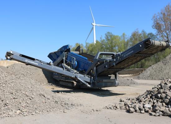
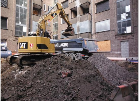
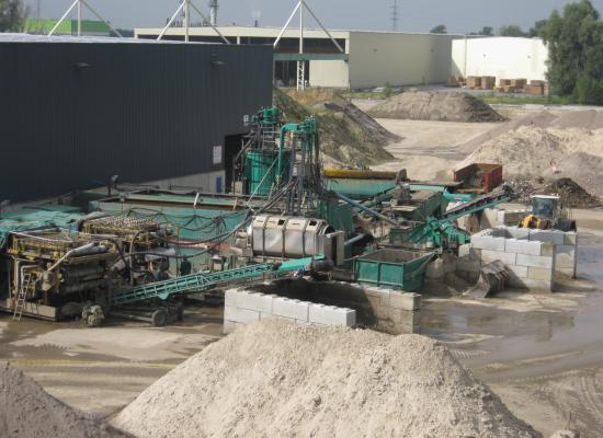
On-site soil and water investigations have shown incompatibility with the development project, necessitating the implementation of a sanitation project. This was submitted by the NEO LEGIA consortium and was approved on November 20, 2019, by the Authority. The purpose of this contract is the execution of the project on the parts intended to belong to the public domain, up to the amount of allocated public funds.
The planned sanitation services are directly related to the works required for the establishment of the eco-district. The development project divides the site into future private and public areas, as well as public spaces.
History
Until the mid-18th century, the natural banks of the Meuse were used as a loading place for coal shipments. In 1754, a wider quay was built.
In 1930 and 1939, two international exhibitions were held at this location. The location of these two exhibitions is indicated in the figure below:
The 1930 exhibition was organized to commemorate the centenary of Belgium. For this exhibition, a bridge was built between 1927 and 1930, to the right of the current Atlas Bridge. Part of the exhibition grounds was located on the left bank of the Meuse, on the former "Ile des Osiers" situated between the Meuse and the old Liège-Maastricht Canal.
After the exhibition, all elements built for it appear to have been left on the construction site (metal structures, plaster panels, foundation elements, filling of cellars, etc.).
In 1939, the International Exhibition of Water Technology was held here. This exhibition covered 80 hectares on both the left and right banks of the Meuse. Major topographical changes were made for the needs of this exhibition, including the creation of the Albert Canal (inaugurated in 1939), leveling of the land with the addition of between 700,000 and 1,000,000 m³ of fill material, realignment of the Meuse River, filling of the old Liège-Maastricht Canal, and removal of locks.


